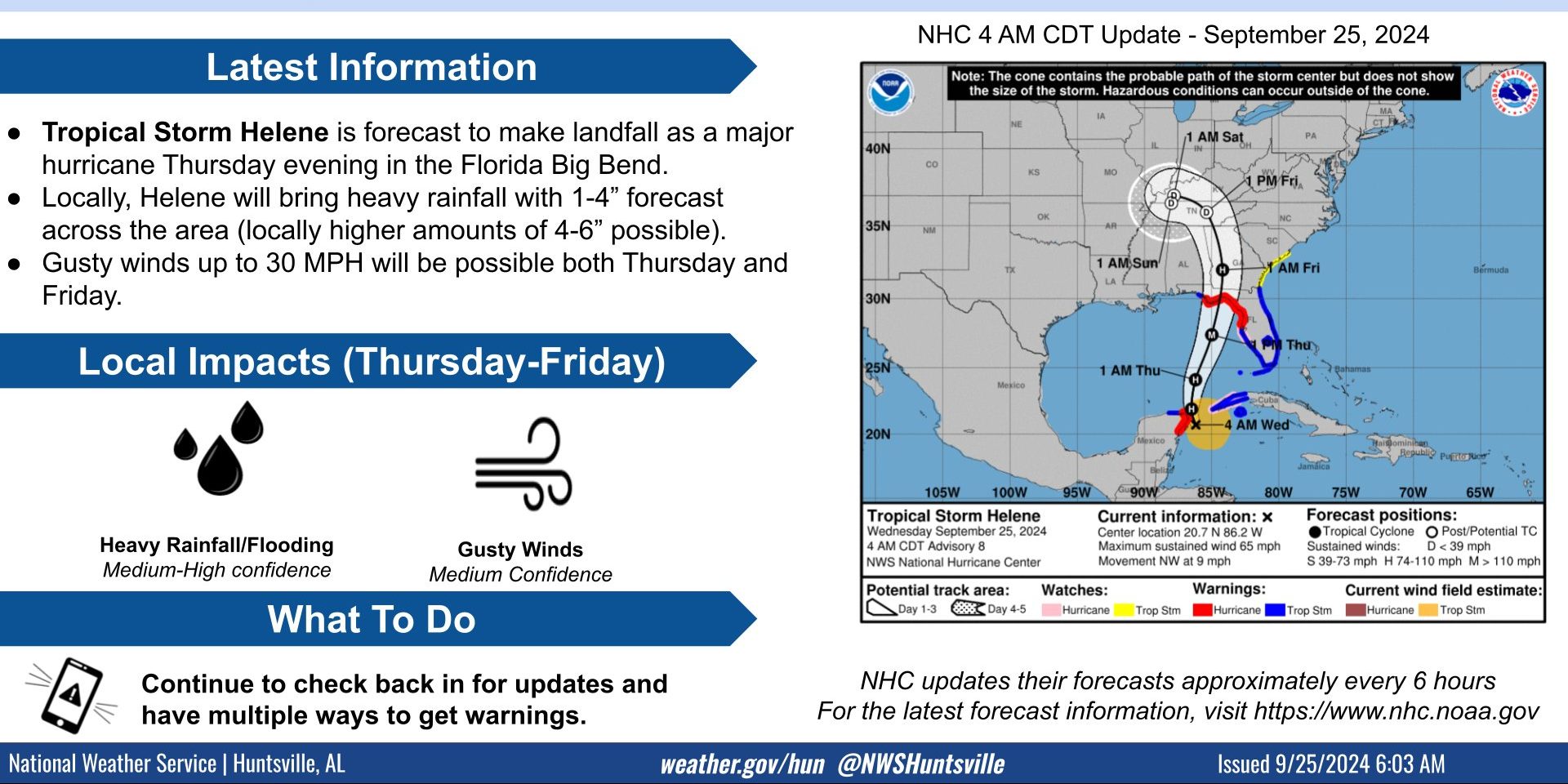
HUNTSVILLE — Tropical Storm Helene is expected to make landfall as a hurricane Thursday evening in Florida’s Big Bend and it will be a factor in the weather in the Tennessee Valley for the rest of the week.
A slow-moving cold front will progress across North Alabama tonight, before moving westward Thursday as it becomes absorbed in the broader circulation of Helene, according to the National Weather Service Huntsville office.
Due to the orientation and projected movement of the front, rainfall coverage and precipitation amounts will be lower in Northwest Alabama, according to the weather service office.
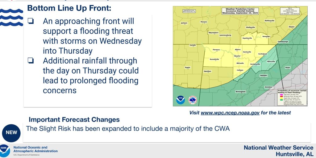
“Current forecasted rainfall totals from Thursday into Friday are in the 1- to 4-inch range (highest east of I-65),” the National Weather Service Huntsville office said. “Locally higher amounts up to 6 inches are also possible.
“This will be in addition to the 1-2 inches of rain the area will receive through tonight.”
A flood watch will likely be required for portions of northeast Alabama and southern Middle Tennessee later today.
Impacts from Tropical Storm Helene will begin Thursday and last into Friday, with moderate-locally heavy rainfall and wind gusts up to 30 mph expected, the office said.
Conditions will improve this weekend.