HUNTSVILLE — Dangerous heat.
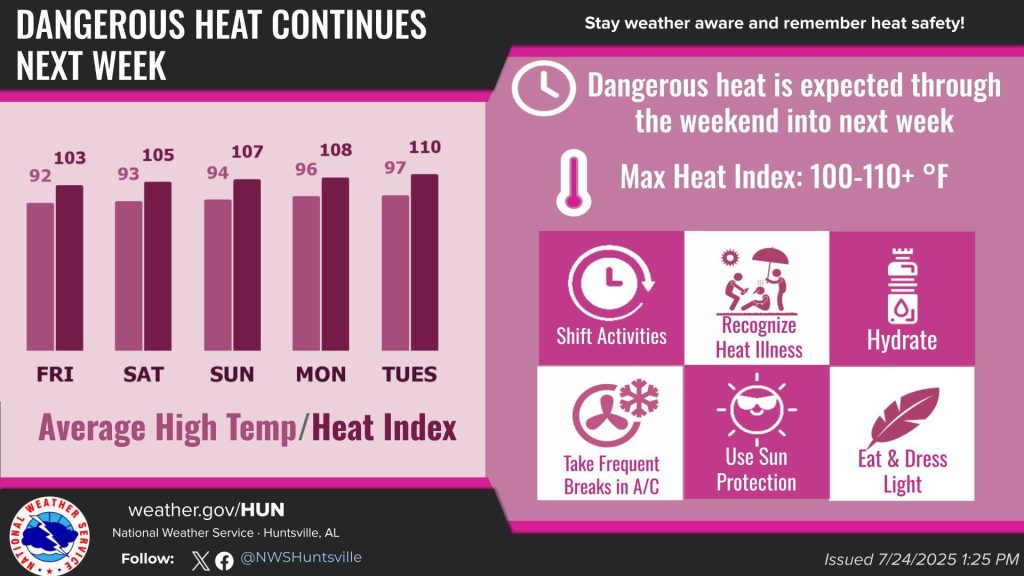
That’s what’s in the forecast for the area today.
How dangerous?
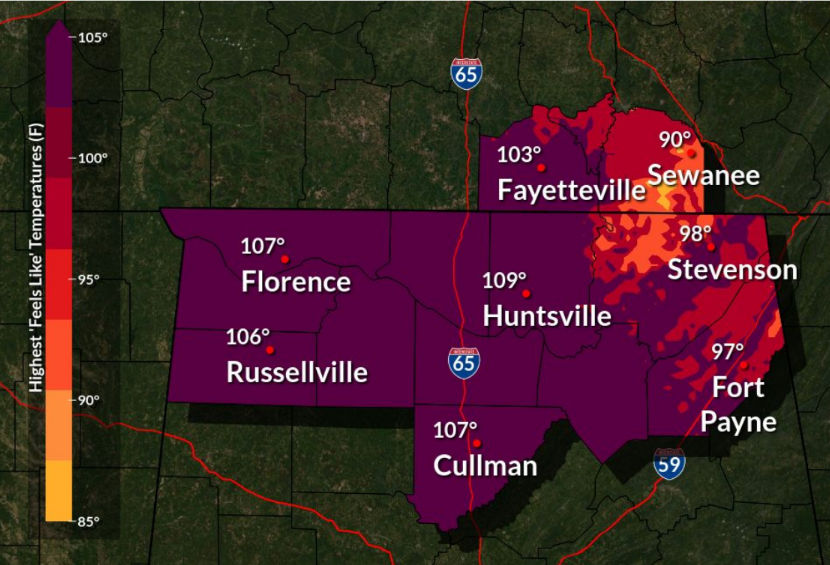
Maximum heat index values are expected to be between 105 and 109 degrees, according to the National Weather Service Huntsville office.
“Dangerous heat is expected today,” the office said. “Heat advisory is in effect from 11 a.m. to 8 p.m. for north central and northwest Alabama.”
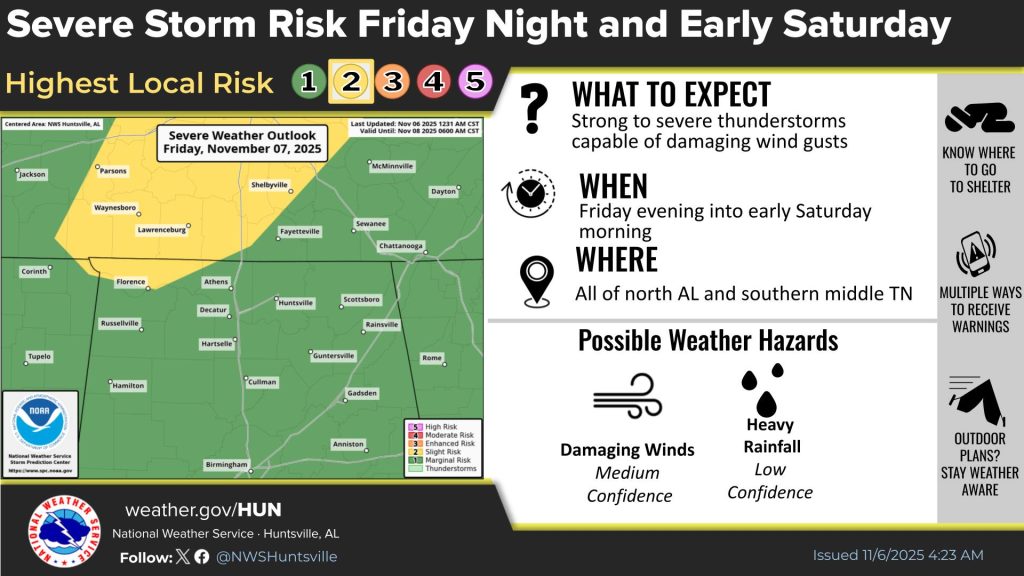
And, if that’s not enough, thunderstorms are in the forecast through early Saturday. Some of these storms could be strong to severe.
“Medium to high (40-70%) chances for thunderstorms today over northeast Alabama and southern middle Tennessee,” the weather service said. “Any storms that form could become strong to severe.”
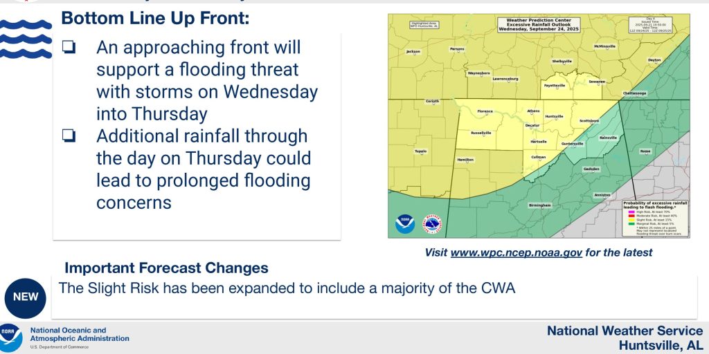
Let’s make it a weather trifecta – flooding. The office forecasts possibly one to two inches of rain today and Friday.
“Locally high rainfall rates will increase the risk of flooding across the area today and again on Friday,” the weather service said. “Some uncertainty still exists with the evolution of this activity both today and Friday, but the most favored areas for any flooding issues will be locations north of the Tennessee River.”