HUNTSVILLE – The high heat, oppressive humidity and periods of little to no rainfall typical of Alabama summers can cause flash droughts that threaten agriculture, the state’s largest industry.
Alabama Drought Reach, a new climate program housed at the University of Alabama in Huntsville, aims to improve communication between scientists and farmers and to use that information to mitigate harm.
The program is a partnership between the Alabama Office of the State Climatologist at UAH and the Auburn University Water Resources Center with support from the Alabama Cooperative Extension System and the Alabama Agricultural Experiment Station.
“The goal of Alabama Drought Reach is to improve drought literacy across the state,” said Brianne Minton, program coordinator. “Not only will it benefit our farmers and the state climate office, but it will also serve as a valuable tool for the general public to understand how their food and necessities are impacted by drought.”
Information generated by the program will help Dr. Lee Ellenburg, associate state climatologist, better do his job. He oversees setting Alabama’s drought levels each week.
Ellenburg’s report helps determine the classifications of drought, which could allow farmers to receive state and federal drought assistance.
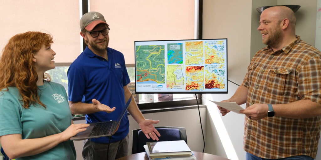
The state climate office uses satellite remote sensing, weather models and in-situ data to
understand how temperature, humidity, soil moisture and precipitation can cause dry-downs during the summer.
“But how Alabama’s crops are impacted is what really defines drought,” Ellenburg said. “We
need to know from farmers how their crops are impacted by the weather. Partnering with
Auburn University in this capacity allows each of us to combine our unique strengths, better
serving our farmers across Alabama.”
To help collect weekly information on the status of Alabama’s crops, the Alabama Drought
Reach program will build a direct pipeline of communication between farmers and the state
climate office, with extension and experiment station personnel serving as liaisons.
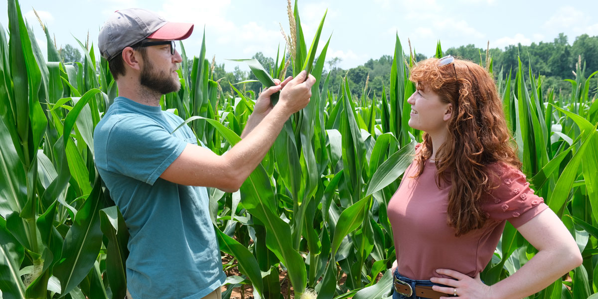
Agents will be trained to monitor specific farm sites by taking photos and measuring the scale of wetness weekly. The scale of wetness is determined based on the crop’s critical growth stage and how the crop is faring throughout the growing season. Then they will input the scale of wetness information and photos into an app.
“This information will allow the state climate office to relay to the United States Drought Monitor the justification as to why Alabama should be in a certain classification of drought based on how crops are impacted by weather conditions weekly,” Ellenburg said.
In return, the objective data the state climate office produces will be funneled by the Alabama Drought Reach program to extension and experiment station personnel to be disseminated to farmers within their counties.
To stay informed on the latest drought information for the state, follow Alabama Drought Reach program Twitter handle, @ALDroughtReach.