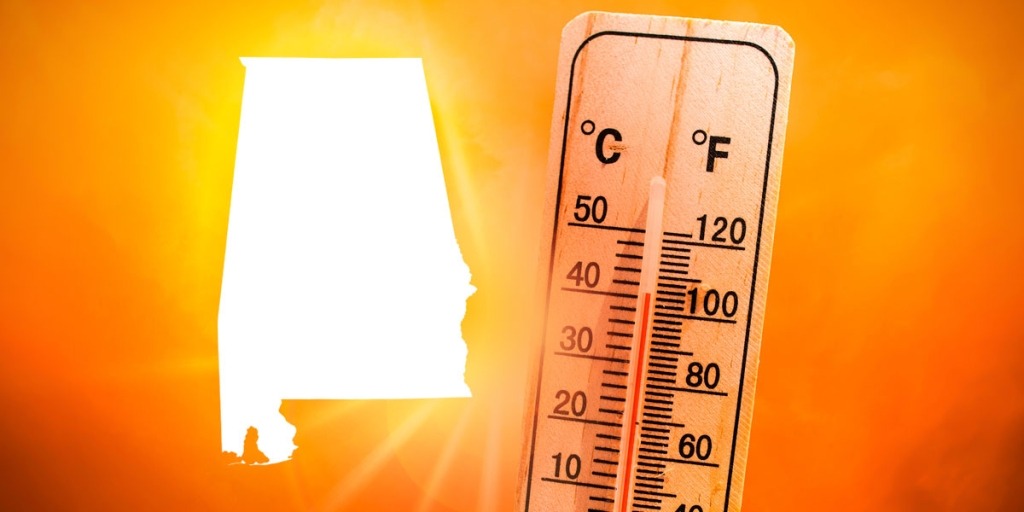
HUNTSVILLE — The heat returns today and Friday but there may be a little relief as a cold front approaches.
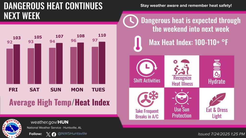
Afternoon heat indices will also approach and/or exceed the 100-degree mark through Saturday, according to the National Weather Service Huntsville office.
“Afternoon heat indices will top out in the 97-102 degrees range today,” the forecasters said. “The hottest day looks to be Friday, where heat indices over portions of northwest and north-central Alabama could reach between 102-105 degrees.
“A Heat Advisory may be needed on Friday if temperatures trend warmer.”
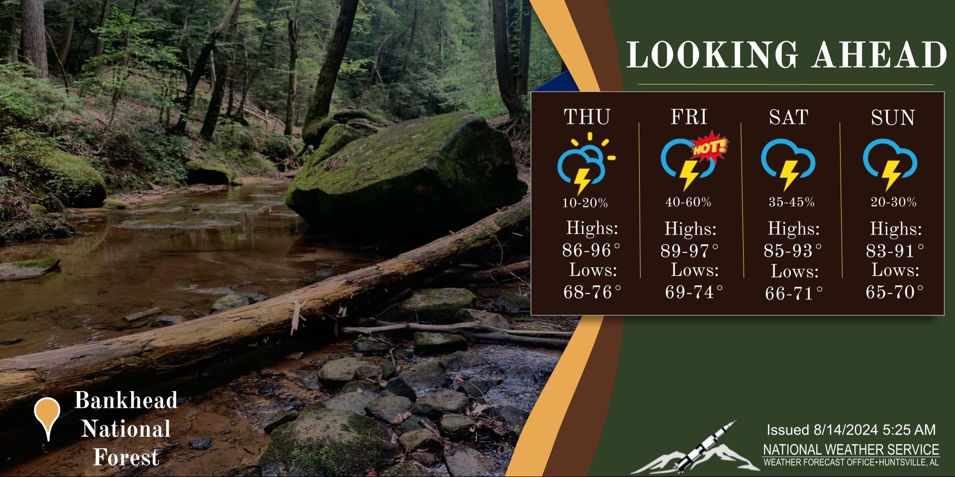
Meanwhile the chances for showers and thunderstorms today are about 10-20%, mainly along and south of the Tennessee River and in northeast Alabama.
Shower and storm chances increase by Friday and Saturday as a cold front approaches the region, the office said. There are medium chances (40-60%) Friday and medium/high chances (60-70%) Saturday.