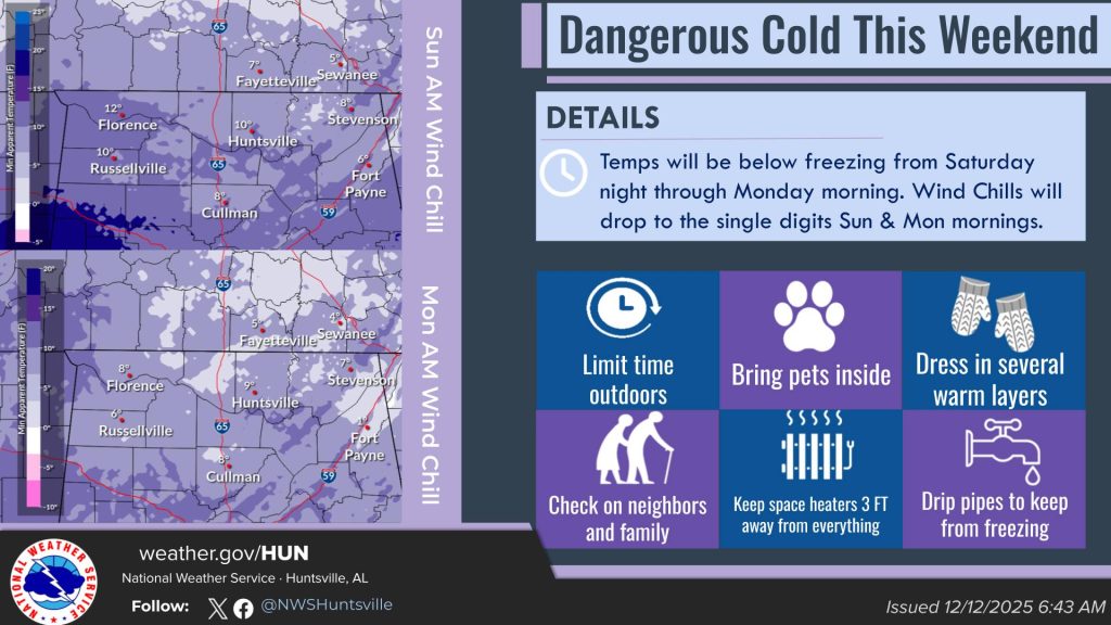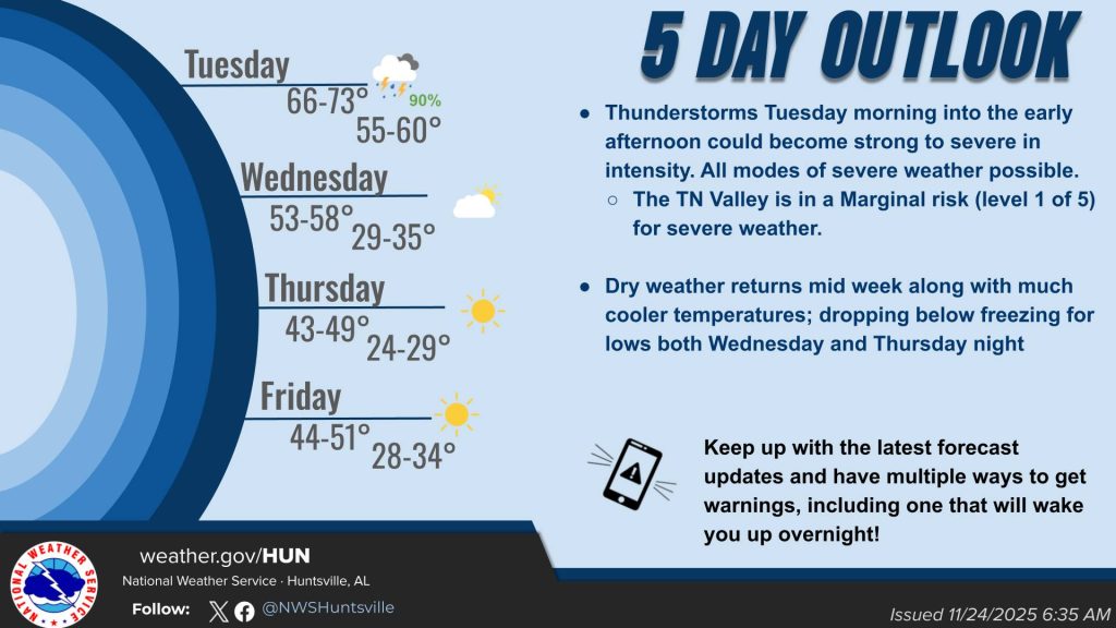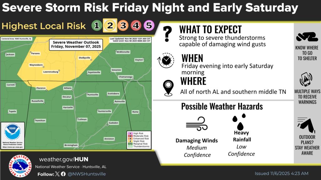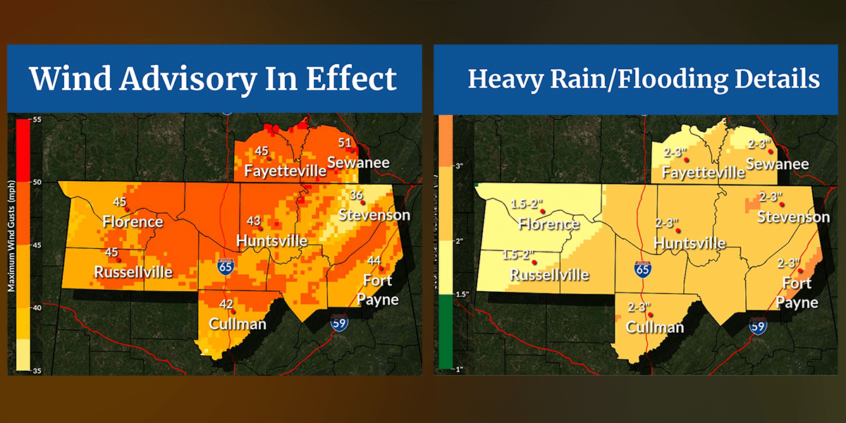
HUNTSVILLE — A strong storm system will move into the area today bringing heavy rains and winds with gusts up to 50 mph, the National Weather Service Huntsville office said.
From about 6 p.m. today through Tuesday, heavy rainfall, a few weak thunderstorms, and very windy conditions are expected across the Tennessee Valley, with highest amounts concentrated near or east of the I-65 corridor.
Some lingering light showers could occur into Tuesday evening, the weather service said. This may briefly mix with some light snow, but no accumulations of snow are expected.
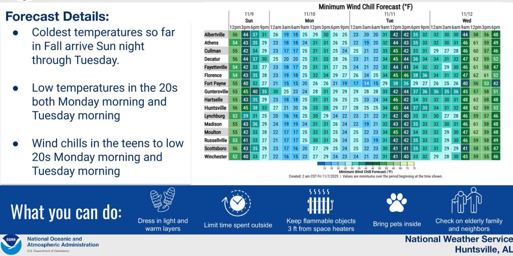
The forecast is calling for damaging, sustained winds of 25-35 mph with gusts of 40-50 mph, the weather service said. “A few higher gusts are possible in highest terrain from 3 p.m. to midnight.”
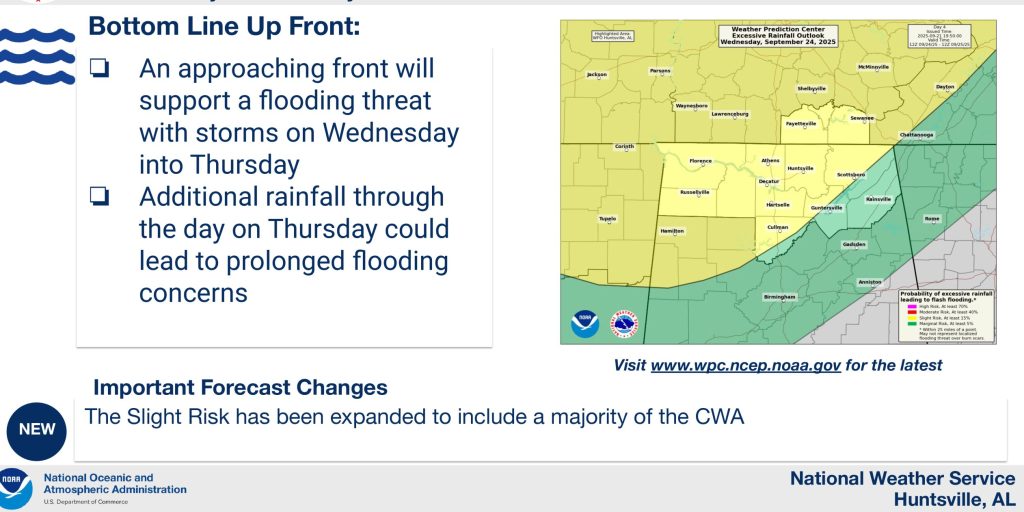
Heavy rainfall and isolated flooding is possible with storm totals of 1.5 to 3 inches expected.
“A few locations could see locally higher amounts over 3 inches,” the office said. “This could produce some isolated flash flooding or minor river Flooding (especially overnight through Tuesday morning).”