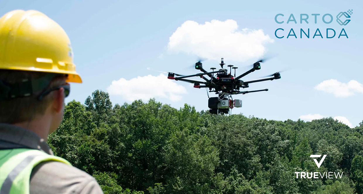
HUNTSVILLE – GeoCue, a Huntsville-based LiDAR data technology company and subsidiary of mdGroup, is expanding its product line into Canada, the company announced.
GeoCue recently signed a distribution agreement with CartoCanada, a geospatial equipment supplier. Specifically, CartoCanada will sell GeoCue’s TrueView 3D Imaging Systems with drone LiDAR mapping equipment packaged with their LP360 processing software.
“After investigating several solutions on the market, we decided that GeoCue provided a combination of innovative hardware, intuitive software workflows, and most important a responsive technical support, training, and service department,” said Richard Andrews, president and CEO of CartoCanada. “Our customers are surveyors, engineers, and mapping professionals. Their ability to complete jobs on time, on budget, and safely is critical to their ROI.
“Meeting our customer’s ROI expectations is what CartoCanada strives for, and GeoCue will facilitate that for our partners.”
More than a supplier, CartoCanada consults with clients to ensure they procure the correct geospatial equipment for their needs, helping them increase their project’s productivity, safety, and highly accurate deliverables.
Geocue Sales Manager Aaron Beach, who brokered the partnership with Geocue, said CartoCanada is the perfect distributor to introduce Geocue to the Canadian market.
“CartoCanada has the right mix of people and expertise to deliver top-notch sales, training, and support to their customers,” said Beach. “Richard and his team bring a lot to the table and I’m excited to see what they can do.”