HUNTSVILLE — “You want us as the 51st state? Well, here’s our weather!”
In a case of “be careful of what you ask for,” the Tennessee Valley is about to get a dose of Canadian weather this week featuring a possible midweek wintry mix and unseasonably cold temperatures.
A system moving across the northern Gulf coast late Tuesday will bring a mix of rain and snow across the area, according to the National Weather Service Huntsville office.
At this time, total snow accumulations should range from less than one inch over southern middle Tennessee and northwest Alabama, to a trace near and south of the Tennessee River.
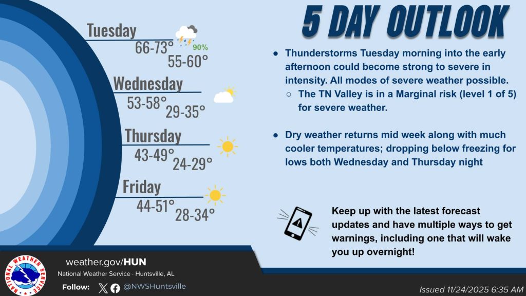
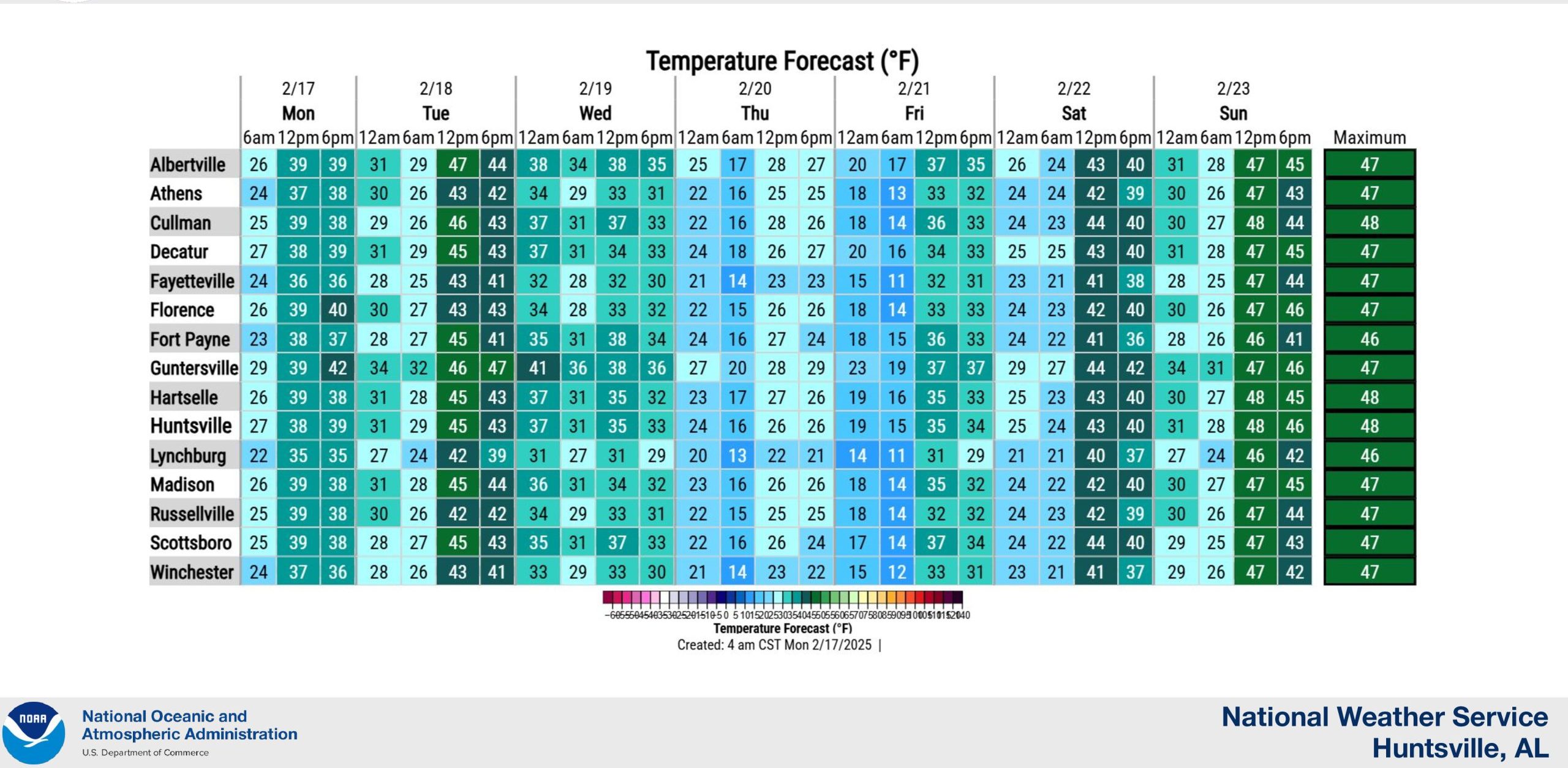
“Chilly conditions will continue, as cold air from a Canadian high spills southward,” the forecasters said. “High temperatures today will only rise into the lower 40s, and around 50 Tuesday.”
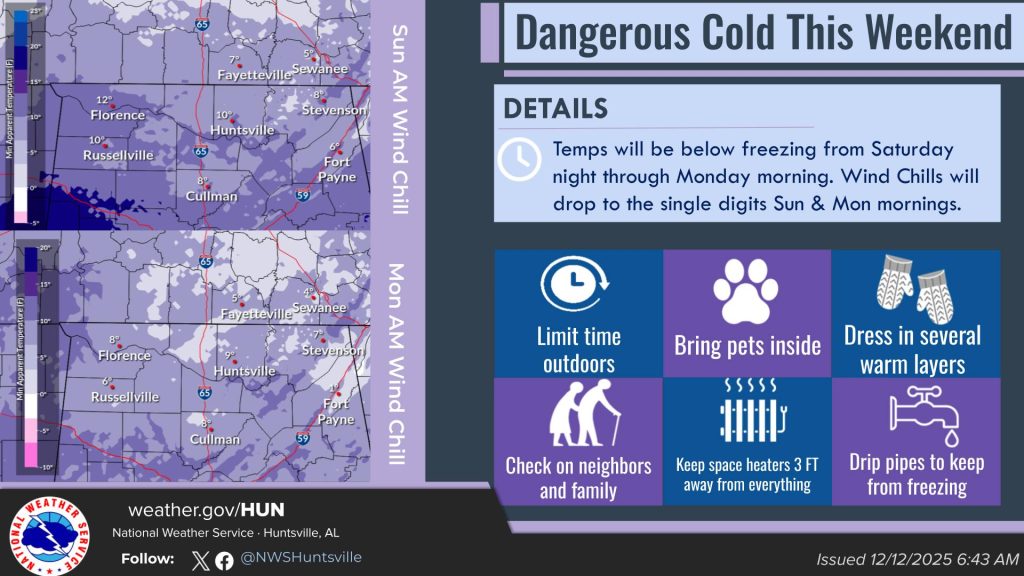
And then, the bitter cold.
It will be even colder for the mid- and latter week, with highs in the 30s, and Thursday only in the upper 20s. Highs will gradually warm to 50 on Sunday.
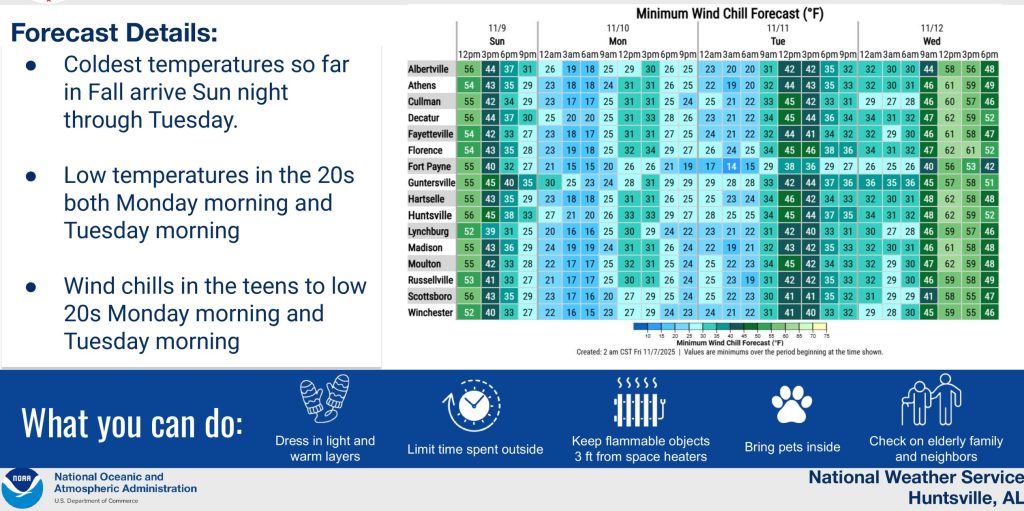
Lows in the 20s tonight and Tuesday night will be even colder in the latter half of the week, plummeting into the teens Wednesday and Thursday nights, then in the 20s into the weekend.