HUNTSVILLE — It’s another day in North Alabama and another day to be weather aware.
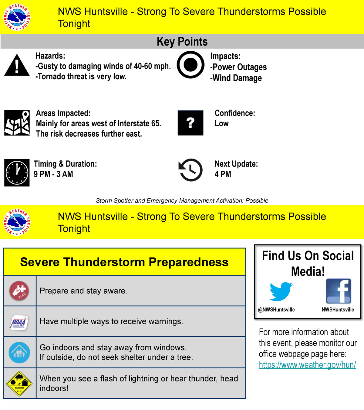
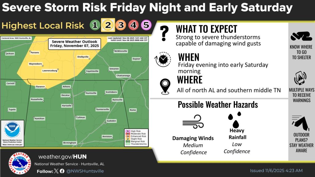
According to the Huntsville office of the National Weather Service, a line of showers and thunderstorms will move west to east across the area tonight.
The line will enter northwest Alabama around 9 p.m. and leave southern middle Tennessee and northeast Alabama by around 3 a.m.
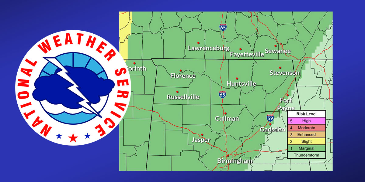
The weather service said a few strong to severe thunderstorms are possible along the line, especially west of Interstate 65. Wind gusts of 40-60 mph are possible, leading to some damage potential.
The risk of a tornado is very low, at this time, the NWS said.