KNOXVILLE, Tenn. — Nick Austin’s face might look familiar if you’re a television viewer in Tennessee.
For 15 years, he worked as a meteorologist delivering forecasts and covering weather-related stories on Local 3 News in Chattanooga and WBBJ ABC-7 in Jackson.
These days, Austin works for TVA as a senior short-term load planning specialist. And his expertise is in high demand as an arctic blast moves into the region.
The longtime broadcaster talks about why weather forecasts are important at TVA and what is expected from this mid-January cold snap.
What are we looking at in the forecast?
Through about Sunday, it’s going to get a lot colder. We’re talking about temperatures down into the teens – and probably the single digits outside of our major metropolitan areas Wednesday morning. The wind chill factor will make it feel even colder.
I wouldn’t be surprised if some areas in TVA’s service territory get down to zero degrees.
Given that there are National Weather Service winter storm warnings across the region, the odds are high that we’re all going to see snow or mixed precipitation from this arctic blast.
It’s hard to pinpoint exact amounts, but many areas could see 2 to 4 inches and some could reach 6 inches or more.
Does the chance of snow make a difference?
Yes. And the reason that’s important is because how much snow is covering the ground affects temperatures. If there is a lot of snow covering the ground, that snow reflects a lot of the sun’s energy back up into space. The more snow on the ground, the colder temperatures are going to get, especially at night.
.
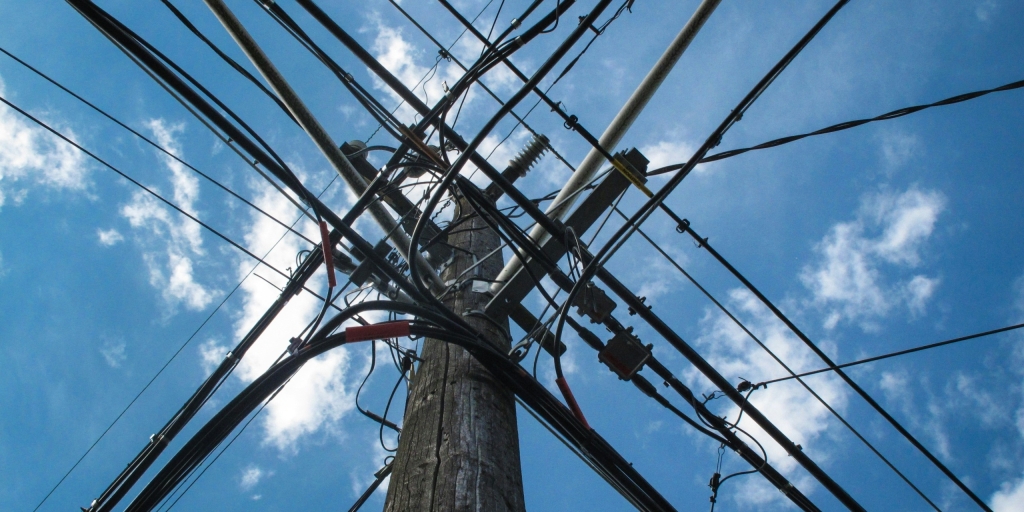
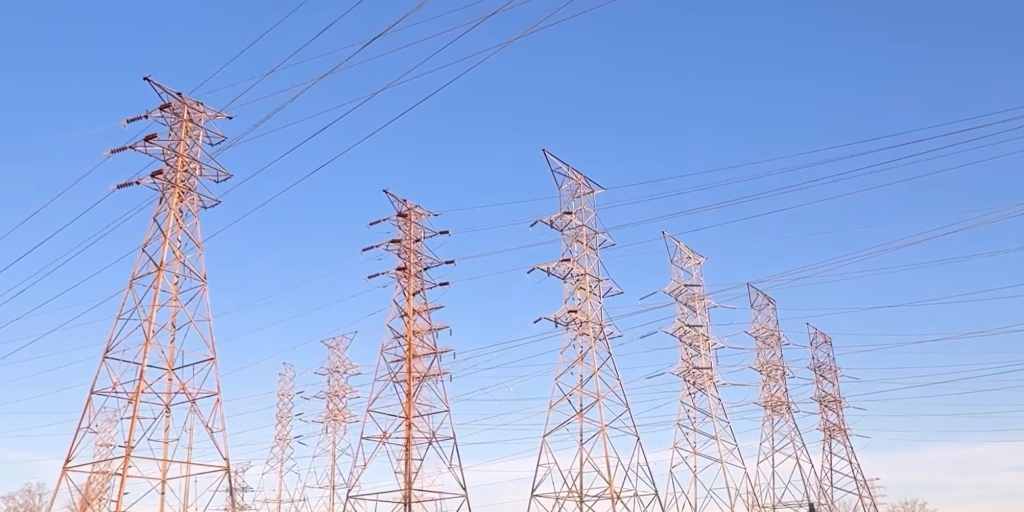
How does the weather affect power demand?
The colder it gets, especially if there are cloudy skies, the higher the power demand will be. It’s going to be cold all week, but today and Wednesday will probably be the two days with the highest peak demand.
We also expect another shot of colder air along with a bit more snow around Friday, but that’s heading into a weekend. Weekend loads are typically lower, so the power demand isn’t likely to be as high as in the middle of the week, when there are a lot more people at work, schools and in factories.
Could you talk about energy demand peaks?
On a typical winter day, we’re going to see two peaks. The first peak is going to be in the morning, right around or just after sunrise. Then it drops off a bit, especially if it’s a sunny day. If it’s a cloudy winter day, power demand will still drop off, but not as much.
Then we’ll see another peak in the early evening when folks are coming back home from work and they’re turning the lights on again and turning the heat up again.
Summertime is a little different. There’s usually only one peak during the day. It’s typically in the early evening. That’s when we’ve just passed that peak heating of the day and people are coming home and turning on their air conditioning.
What can people do to conserve energy and save on their electric bills?
Good question. I’ll tell you what energy experts often share.
Definitely seal up any leaks around windows and doors, so there’s no air getting in or escaping. Shut the blinds at night. Replace air filters when they’re supposed to be replaced. And when you leave the house, make sure you just bump the thermostat down 3 or 4 degrees in the winter just before leaving.
At least once a year, have heating and air specialists come out and check your system to make sure everything is looking OK. Make sure you’re not blocking any air vents in the house with furniture, so you get good air flow.
Those can definitely help out a lot. I know they’ve helped me over the years.
How many short-term load planning specialists does TVA have? What do you do?
We have three in my group. We do load forecasting. Each afternoon by 3 p.m. Eastern time, we do our next-day forecast and then our longer-range forecast, which goes out a couple of weeks.
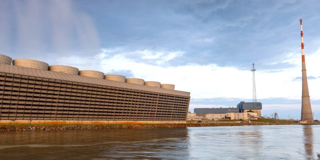
Weather has a large impact on power demand. Power demand is the same as load, so we just use the word load. An accurate load forecast is important because it helps TVA optimize its resources. It helps our system operators figure out if they need to turn on more capacity and how much more energy generation we might need to cover the load.
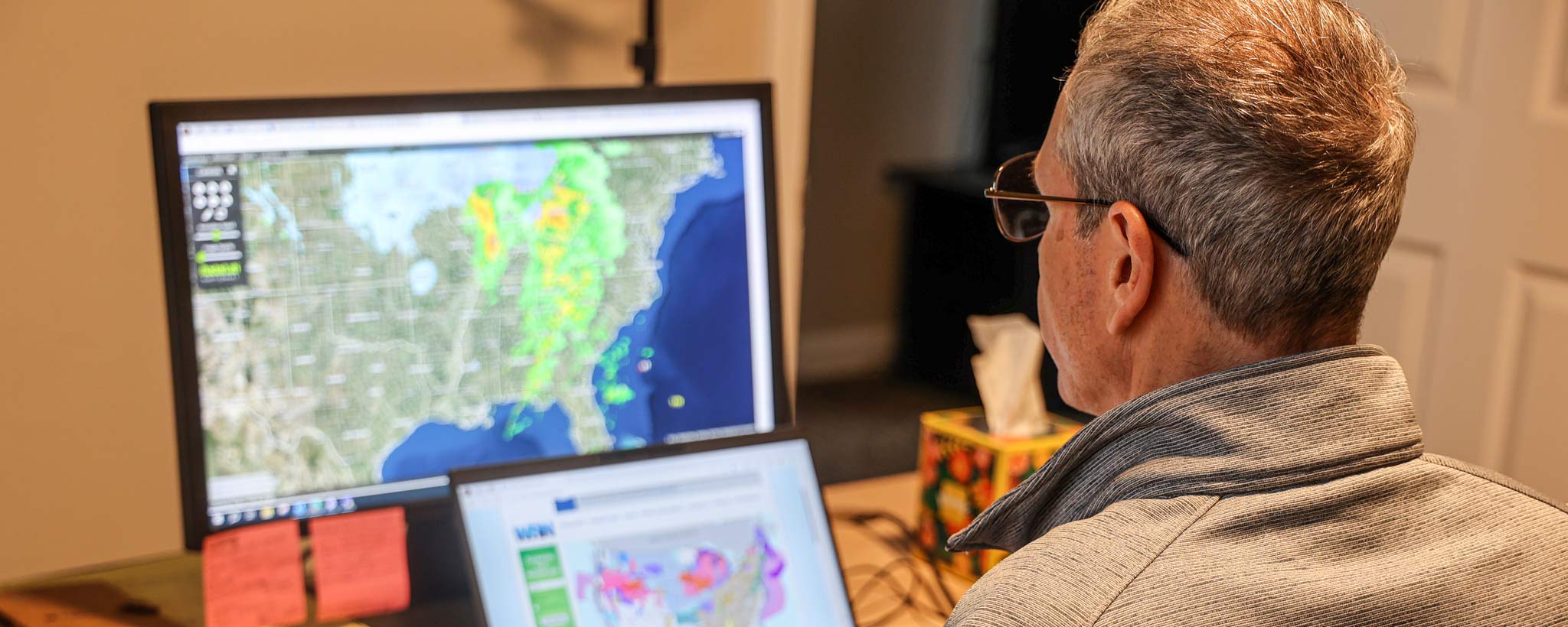
How does TVA forecast the weather?
We use all the different tools available, like radar and satellite imagery and computer forecast models. And we combine that with experience and intuition – just knowing the eccentricities of weather in the TVA service area.
We also have weather data that feed directly into the TVA load forecasting system. The weather data is working right along with the load forecasting models that we have.
What kind of weather data?
That weather data includes things like temperature, wind speed and humidity.
TVA has five metropolitan areas: Chattanooga, Huntsville, Knoxville, Memphis and Nashville. All the weather data we’re getting is from those five locations. For example, when our model says the high temperature is going to be 50 degrees, that’s the five-city average. These are the most important numbers that we need since that’s where most of the energy use is going to be.
Is there a lot of variation in the weather within the TVA service area?
Outside of those metropolitan areas, the temperatures could vary a bit on certain days, especially with a major weather system like this cold snap.
The coldest temperatures are always going to be outside of the cities. The major cities, where you have more concrete and buildings, are going to retain the heat a little bit better. When you go out to the suburbs and the far outlying areas, the sun’s radiation from the day escapes a lot quicker.
How do TVA’s weather forecasting models work?
We use four different load forecasting models. The challenge is to find the best blend of those because there’s always model biases. Some do better in certain situations; other load forecasting models do better in other types of situations. The idea is to find the best blend based on our experience of what the models have done in the past.