HUNTSVILLE — It could be a soggy drive home for commuters today.
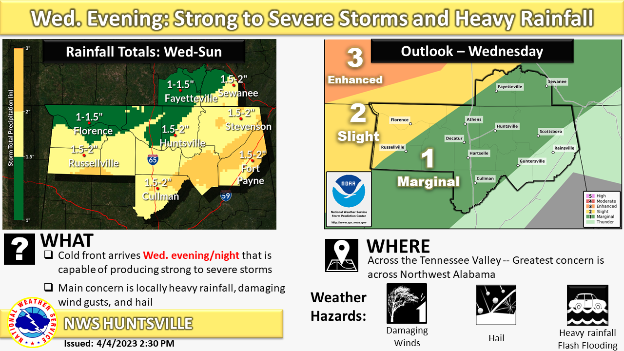
The National Weather Service’s Huntsville office is calling for widespread showers and thunderstorms this evening and overnight.
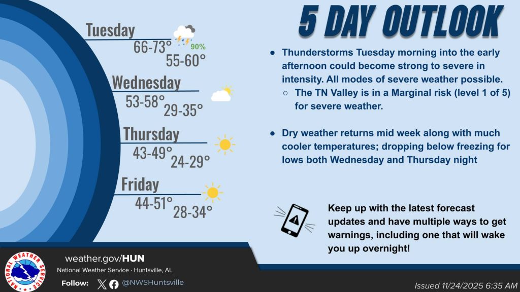
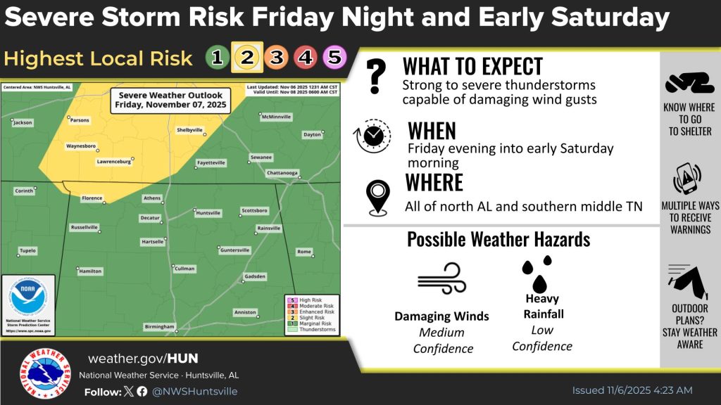
“Strong to severe storms are possible with the main hazards being hail and damaging wind
gusts,” the office said this morning. “The greatest chances for severe storms is northwest Alabama.
“The severe threat (is from) 7 p.m. to 4 a.m. (Saturday).”
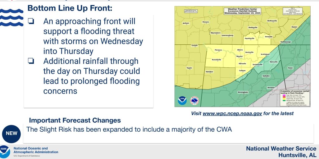
The office said a slow-moving cold front will arrive this evening and linger into Thursday.
“The heaviest rainfall threat will occur midnight tonight into daybreak Thursday,’ the office said. “The cold front will stall bringing additional rounds of rainfall Thursday into Friday, and Friday into Saturday.
“Locally heavy rainfall is a concern given the slow movement of the front which could result in flooding and rises along area rivers and streams – 1.5 to 3 inches of rainfall is expected through Sunday.”