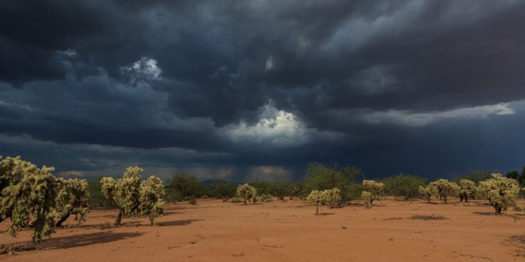
HUNTSVILLE – A University of Alabama in Huntsville scientist has received a grant from the National Oceanic and Atmospheric Administration Weather Program Office to improve the accuracy of forecasting high wind events.

Earth Science. (Michael Mercier/UAH)
Dr. Xiaomin Chen, an assistant professor of atmospheric and Earth science, is lead principal investigator of the $530,139 grant, titled “Unification of Boundary-Layer and Shallow Cumulus Mass Fluxes under Vertical Wind Shear for the Unified Forecast System Models.”
Chen’s project, in collaboration with two atmospheric scientists from the National Center for Atmospheric Research and the University of Miami, was one of eight projects awarded through NOAA’s Innovations for Community Modeling Competition.
Funded for two years, Chen and his team will support the development of and advancements to improve the accuracy and reliability of NOAA’s United Forecast System models. The team will study how the impact of changing wind speed and direction, known as vertical wind shear, from the surface up to 3,000 feet in altitude, impacts turbulent eddies, or swirls of air, which transport heat, momentum and mass upward to form shallow cumulus clouds during high-wind events.
“The vertical wind shear can dampen the upward movement of turbulent eddies and subsequently weaken the vertical development of cumulus clouds in a storm,” Chen said. “The weakened turbulent movement and cloud updraft affect the storm’s structure and intensity change.”
Oddly enough, the small, white puffy cumulus clouds that accompany massive storms like hurricanes affect the destructive power of those storms. Creating a better computational scheme to represent those clouds, whose smallest sizes are at the limits of what today’s models can capture, will likely produce better forecasts of the storms’ impact.
“The impact of vertical wind shear on reducing the turbulent mixing is missing or not well represented in current weather forecast models,” Chen said. “Forecasts errors can occur as a result.”
To ensure NOAA’s next generation of weather forecasting models can accurately represent the growth and development of shallow cumulus clouds in high wind events, Chen and his team plan to merge planetary boundary layer and shallow cumulus properties into one unified computer code within NOAA’s next-generation hurricane forecast model, the Hurricane Analysis and Forecast System. This new model will help better predict high-wind conditions.
“Characterized by strong vertical wind shear, hurricane environments are optimal for exploring the impact of vertical wind shear on shallow cumulus clouds,” said Chen.
The team hopes to examine retrospective runs from the upcoming 2024 North Atlantic hurricane season to determine if the new computer code within the Hurricane Analysis and Forecast System more accurately predicts the track and intensity of hurricanes.
“If this computer code can accurately represent shallow cumulus clouds under strong vertical wind shear within the Hurricane Analysis and Forecast System, we may be able to use this code within other forecasting models of the Unified Forecast System to better predict other high winds events such as squall lines,” Chen said.


