HUNTSVILLE — In the words of that great philosopher Winnie the Pooh, today will be “a rather blustery day.”
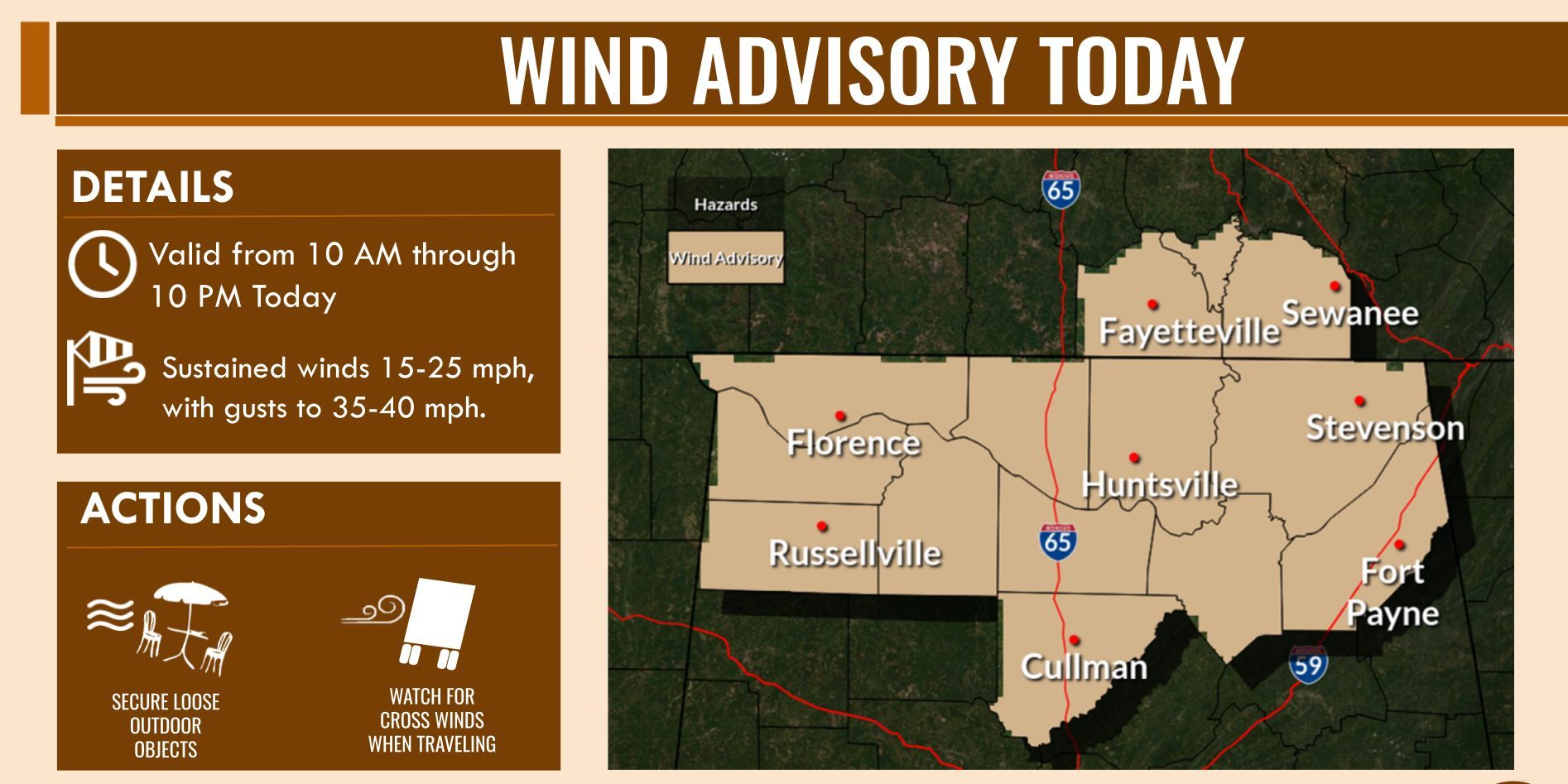
On this “winds-day,” the National Weather Service Huntsville office has issued a wind advisory for all of north Alabama and southern middle Tennessee today from 10 a.m. to 10 p.m. Sustained winds around 15-25 mph are expected with gusts up to 35-40 mph.
A cold front will also bring medium to high chances (50-90%) of thunderstorms this afternoon/evening with a low chance of strong/severe thunderstorm activity, the office said.
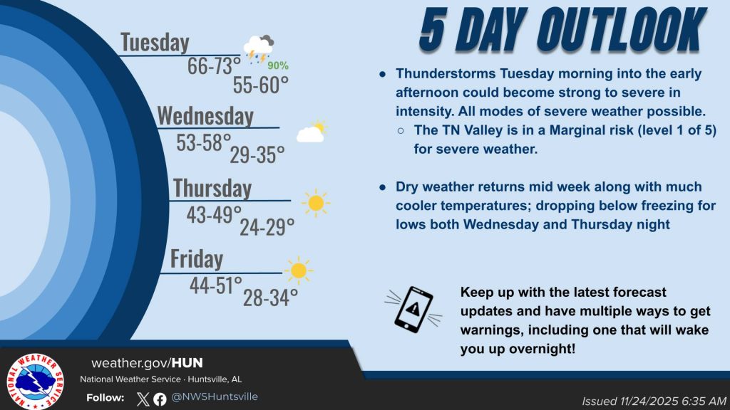
Meanwhile, the “big chill” is coming Thursday into Friday.
It will be dry and much cooler, with a light freeze likely Friday morning as lows drop into the upper 20s-lower 30s, the forecasters said. A freeze watch is likely for Alabama counties, too.
Oh, bother.