COLD, DRY AGAIN TODAY: After a sub-freezing start, look for a high in the 40s and low 50s across Alabama this afternoon, much like yesterday. Most of the state will stay dry tomorrow, although some rain could creep into the northwest corner of the state by mid to late afternoon.
A few periods of rain are likely Thursday and Friday with highs in the 50-55 degree range for most communities.
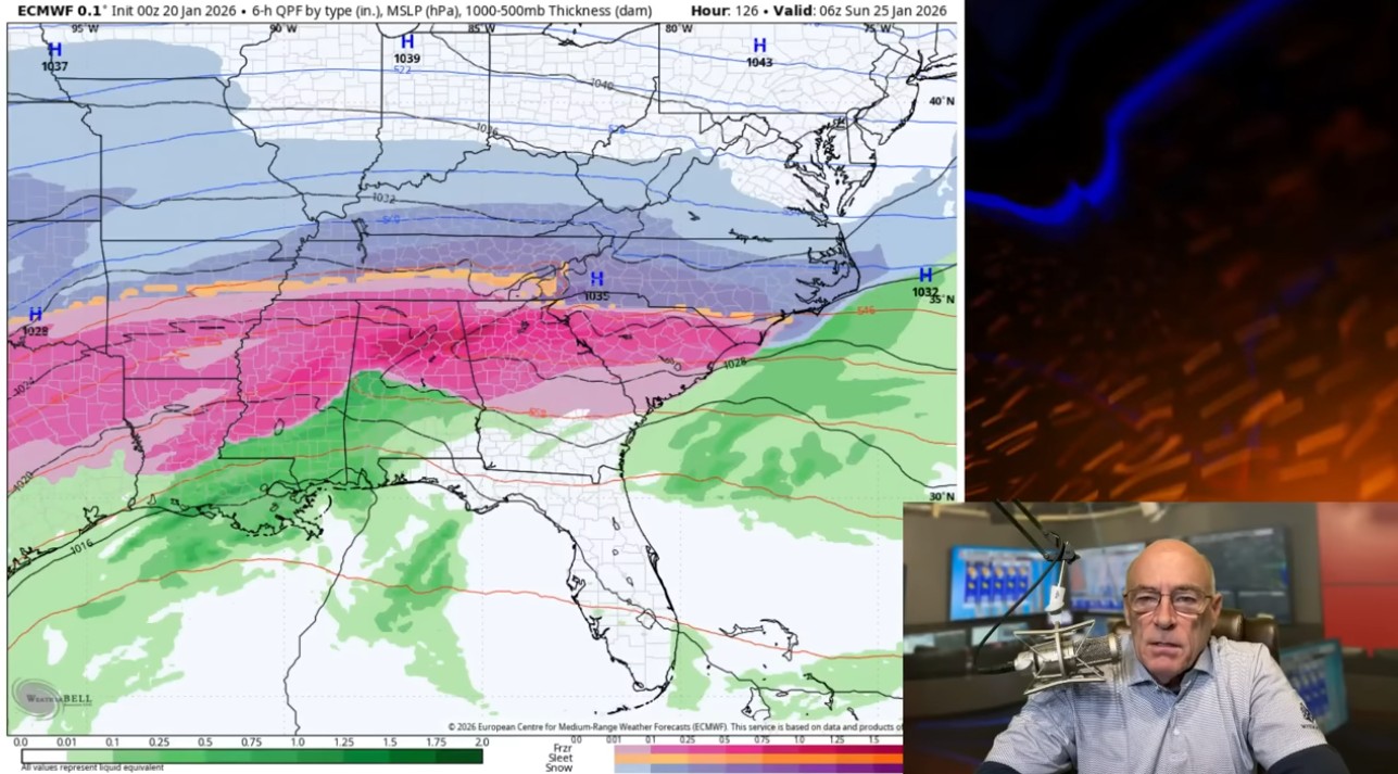
WEEKEND WINTER STORM: Global models remain very consistent in advertising the potential for a high impact winter storm for the northern half of Alabama this weekend. Here are the key messages …
*Best chance of snow with this event will be across the Tennessee Valley, especially north of the Tennessee River. It is possible some communities there could see snow totals in the 2-4 inch range. Maybe more in spots.
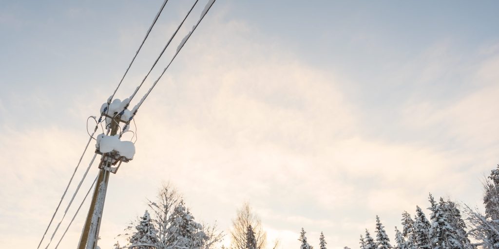
*South of the Tennessee River, an extended period of freezing rain seems likely due to the cold air being very shallow. This is precipitation that falls in liquid form when temperatures are at or below freezing. This leads to ice accumulation on exposed surfaces and can bring potential for power outages and very difficult travel conditions. Global models continue to suggest potential for some very significant ice accumulation.
*One positive is that temperatures will be in the 50s tomorrow through Friday, so the infrastructure won’t be especially cold at the onset of the event.
*Defining the southern extent of the ice threat is always the hardest part of a forecast like this, and the line between a cold, rainy day and major icing can move back and forth during the event. At the moment it’s looking like some ice accumulation will be possible as far south as Livingston, Greensboro, Clanton, Lake Martin, and Opelika. Understand this is very much subject to change.
*The risk of snow/ice will begin as early as midnight Friday night over Northwest Alabama; the precipitation will spread to the east and south Saturday and Saturday night. It could very well linger into the day Sunday before ending Sunday night.
*South Alabama will see just a cold rain from this event.
*This winter storm will impact a wide area, from Texas to the Carolinas.
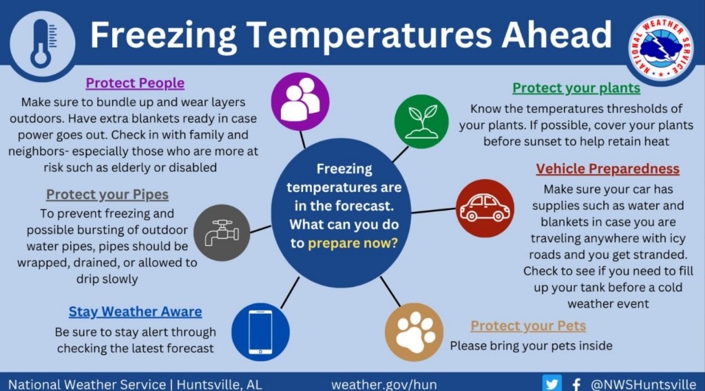
*We will be much more specific about accumulation potential tomorrow and have a very detailed impact forecast by Thursday. But if you live anywhere over the northern half of Alabama consider planning for difficult travel and power outages. It is a course of least regret. Best case is that you wind up with a cold rain, worst case is a crippling ice storm that can lead to power outages for days, if not weeks in some isolated cases. In areas of the Tennessee Valley that receive mostly snow, any power outages are expected to be isolated rather than widespread.

NEXT WEEK: Very cold nights will follow the weekend winter storm; temperatures could drop into the single digits by Tuesday morning with a clear sky and light wind. The week looks dry with highs in the 30s and 40s. See the video briefing for maps, graphics and more details.

ON THIS DATE IN 1937: The wettest Inaugural Day of record with 1.77 inches of rain in 24 hours. Temperatures were only in the 30s as Franklin D. Roosevelt was sworn in for his second term.
For more weather news and information from James Spann and his team, visit the Alabama Weather Network.