HUNTSVILLE — It may be stormy and soggy in the valley over the next few days.
A series of disturbances will bring strong to severe storms today, according to the National Weather Service Huntsville office. A weak front may keep that trend going Friday night into Saturday.
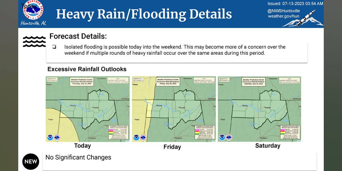
“Confidence is low on coverage and severity, but if we get a decent amount of rainfall falling over the same areas, flooding may become even more of a concern over the weekend,” the Weather Service said.
The office is calling for medium chances for storms (50-60%), but a low chance for them becoming severe today. The storms should track across North Alabama this afternoon, possibly extending as far south as southern Cullman County. They can bring damaging winds and up to quarter-sized hail.
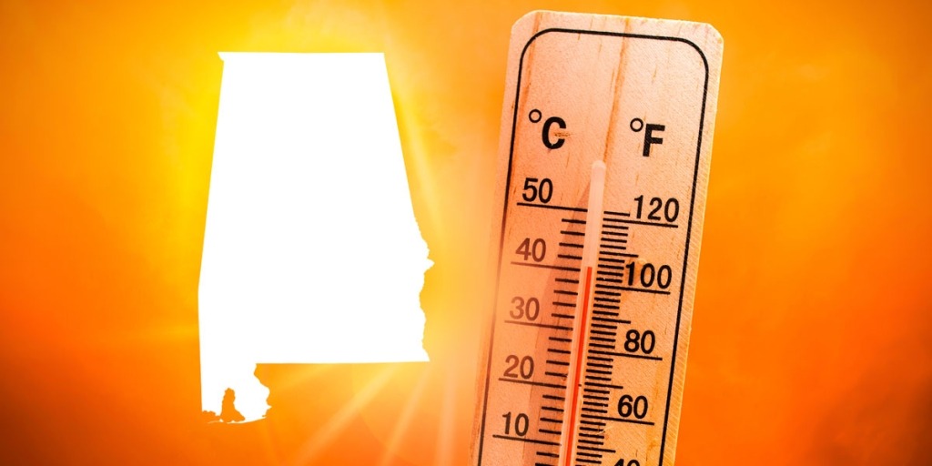
Temperatures can reach the 90s, the office said, and heat index values could climb to between 100 and 105 degrees through the weekend.
“Thursday through Saturday isolated locations may see heat index values very briefly hit 105 or 106 degrees,” the forecast said. “However, at this time it does not look widespread enough for a heat advisory.
“A stronger heat wave may occur toward the middle/end of next next.”