HUNTSVILLE — If rainy days and Mondays always get you down, well, today is a double dose.
A line of showers and thunderstorms is expected to move into the Shoals this morning ahead of a weakening cold front, according to the National Weather Service.
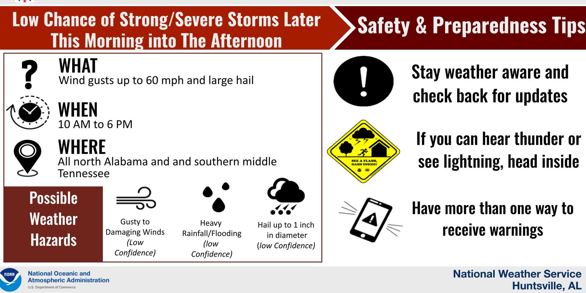
A few storms late this morning into the afternoon could become strong to marginally severe producing large hail and wind gusts up to 60 mph as it moves east before stalling over Jackson and DeKalb counties.
Rain chances are 60%-80% mainly this afternoon and evening across the region.
Medium to high rain chances (40%-70%) and scattered thunderstorms will remain in the forecast Tuesday through Thursday as the weak front moves little. Severe weather is not expected, though some locally heavy rainfall could occur towards midweek. (Rain chances 50%-80%)
As the front moves northward and stalls somewhere near or north of southern middle Tennessee Wednesday night, lower rain chances (30%-60%) will continue each day through Saturday along with a 20%-25% chance for thunderstorms.