HUNTSVILLE – In the aftermath of damaging storms that brought tornadoes to the Tennessee Valley last week, forecasters teased the possibility of more trouble by way of another front that will move through the area tonight into Tuesday.
But while rain is likely to arrive, it appears severe weather is not likely. The National Weather Service Huntsville released this report as part of its “Area Forecast Discussion” Sunday night:
- As instability slightly increases tonight, there is a low chance some storms may become strong — bringing threats of gusty to damaging winds and hail. Confidence in strong storms remains low as the warm sector track trends to the south of our area.
- Medium-high chances (60-90%) of showers/storms are forecast to continue Tuesday morning through the afternoon hours before subsiding from southwest to northeast in the evening. Temperatures during the short term period will range from the lower to upper 70s for highs with lows in the upper 50s to mid 60s.
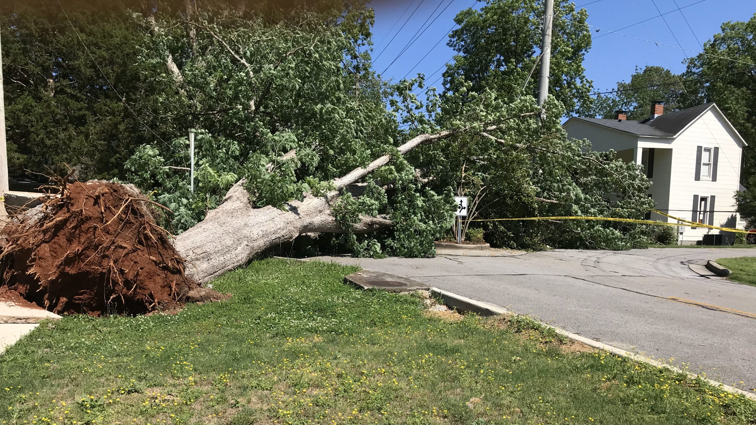
Last week, trees were leveled and some structures including home took damage as storms roared through the valley. Early reports following the storms confirmed eight tornado touchdowns in the region:
- Henegar (EF 3 and EF1)
- McMullen Cove (EF1)
- Huntsville (EF2)
- Elkmont (EF1)
- Madison (EF0)
- Scottsboro (EF0)
The damage in Huntsville was centered in Blossomwood and Five Points, where downed trees in Maple Hill Cemetery led to the city closing access. On O’Shaunessy Ave., a tree that was saved from the chainsaw when sidewalks were being placed on the street met a similar fate compliments of Mother Nature.