HUNTSVILLE — Welcome to North Alabama, where the weather changes by the minute.
It’s not exactly that often, of course, but this week’s sunny 60s may become a snowy mix by Sunday.
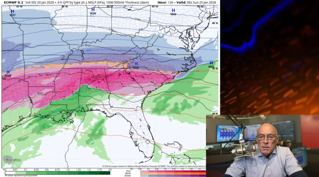
According to the National Weather Service Huntsville office, a system forming over the northern Gulf of Mexico will bring widespread rain across the area beginning Saturday.
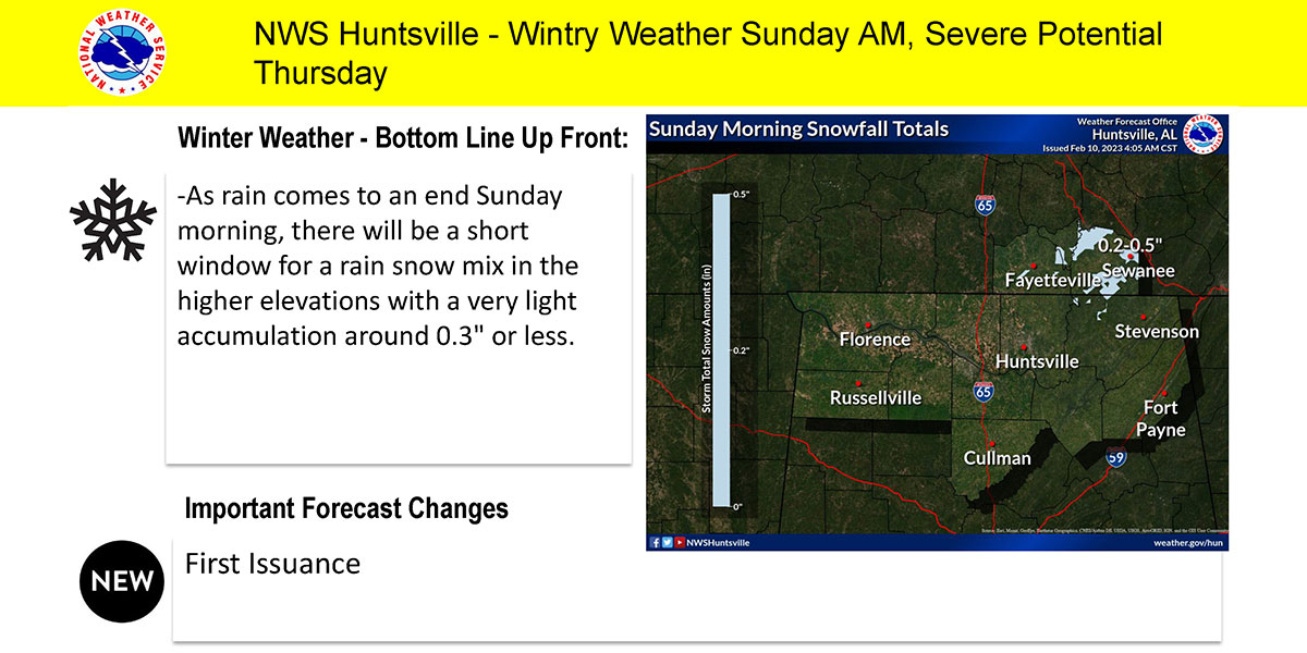
“As the system develops and colder air filters in, some of the rain may mix with or become all snow for a brief period Sunday morning,” the forecasters said. “Light accumulations (less than one half of an inch) are possible, mainly in the higher elevations southern middle Tennessee and far northeast Alabama.
“The precipitation should end early Sunday afternoon as the system exits the region.”
However, snow amounts could increase if temperatures in future forecasts become colder. If there is any snow accumulation, Sunday’s warmer temperatures should melt it.
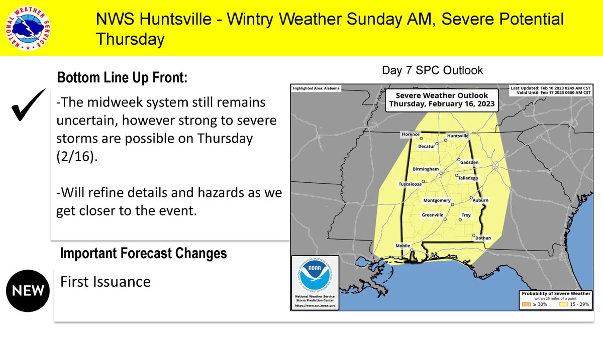
For next week, the office said there is a chance of severe weather Thursday.
“Details and hazards will be refined as we get closer to the event, as there is still model uncertainty at this time,” the office said.