HUNTSVILLE – The National Weather Service Huntsville office has a mixed bag of weather in the forecast – basically a good news/bad news.
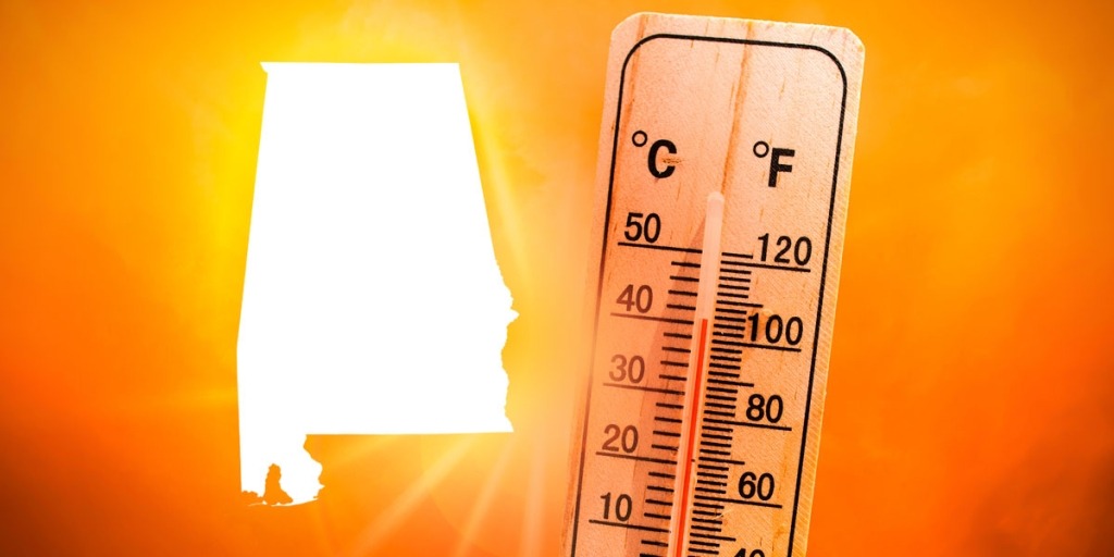
Good news: Temperatures will warm into the 60s by Wednesday.
So, while severe weather isn’t a threat for the foreseeable future, risks remain for residents of the Tennessee Valley with possible flooding headlining those dangers.
The NWS office cautions people to watch for not only potential rising waters but also falling limbs from gusty winds.
The greatest concern for highest rainfall totals is Wednesday morning through Thursday night, the office said.
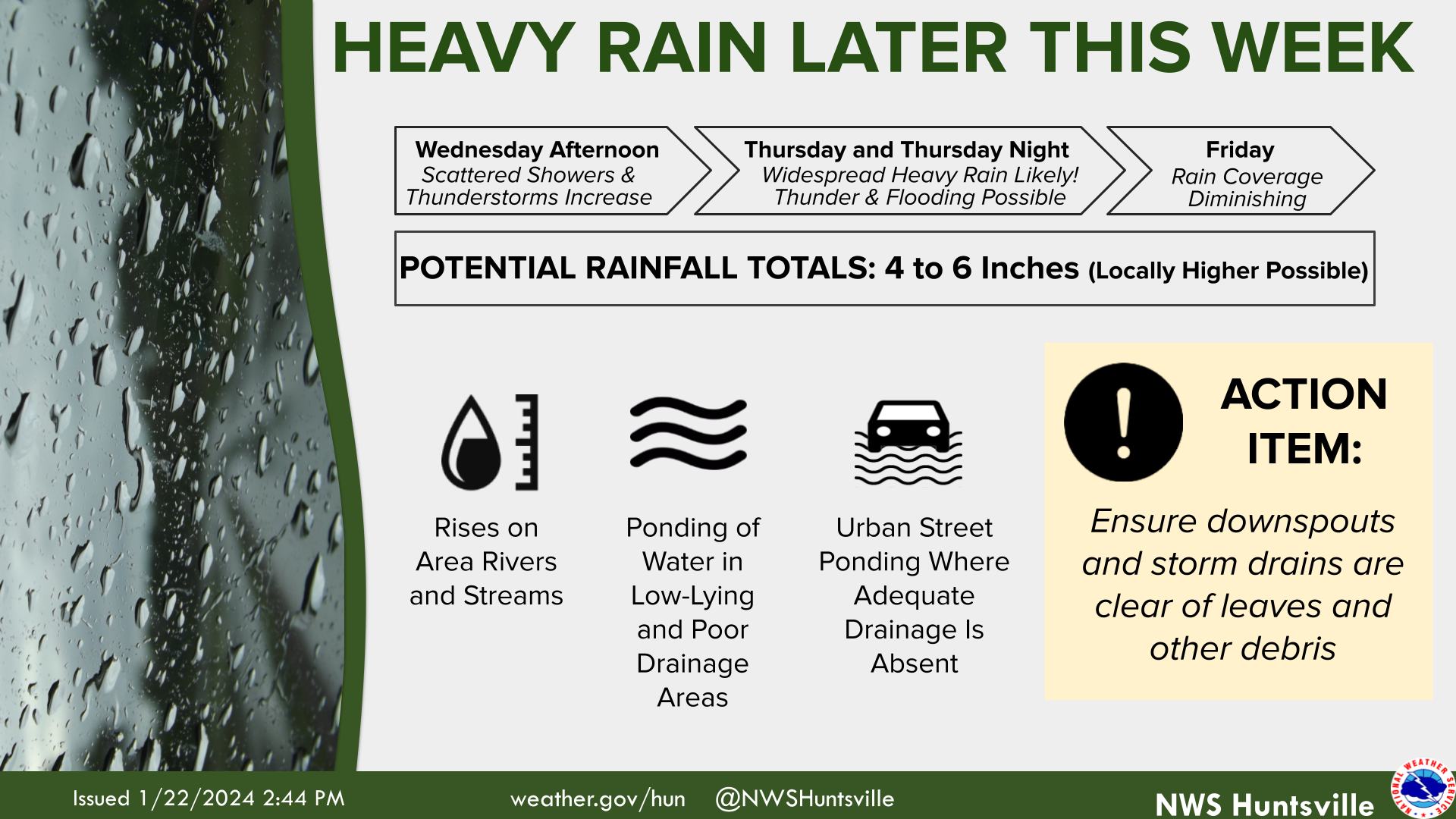
Heavy rain/flooding
- Multiple rounds of showers and thunderstorms are forecast to impact the Tennessee Valley beginning overnight tonight and continuing through this weekend, resulting in rises on rivers, creeks, and streams due to runoff.
- Absorption of water by the ground may be limited due to drought conditions and recently frozen soils, increasing the risk for flooding.
- Current storm total rainfall forecast through Saturday night is 4-6 inches.
- The Weather Prediction Center (WPC) has placed portions of the Tennessee Valley in a slight Excessive Rainfall Outlook Wednesday and Thursday.
- The region will likely see a Flood Watch issued within the next 24-36 hours if the forecast continues to favor the potential for heavy rainfall/flooding.
Gusty winds
- Gusty winds up to around 20-30 mph are forecast to impact the Tennessee Valley through Wednesday night.
- Impact from these winds is expected to be minimal, but due to weakened trees from the recent deep freeze there is a low chance of branches breaking.
Several rounds of showers and thunderstorms will influence the area through Friday, bringing an increased risk of flooding due to runoff being the main threat. A short break in rainfall may occur Friday after a cold front moves through the area.
However, there is a low-medium chance of wraparound moisture returning and rainfall chances increasing again Saturday.